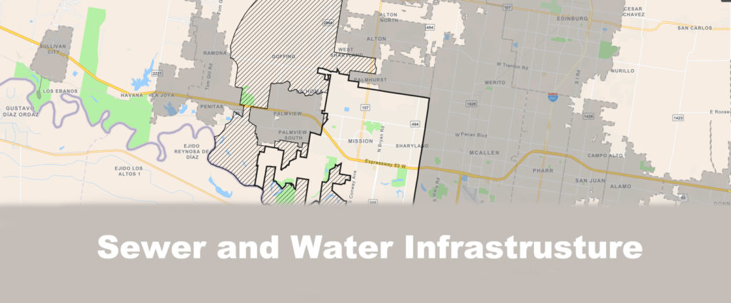
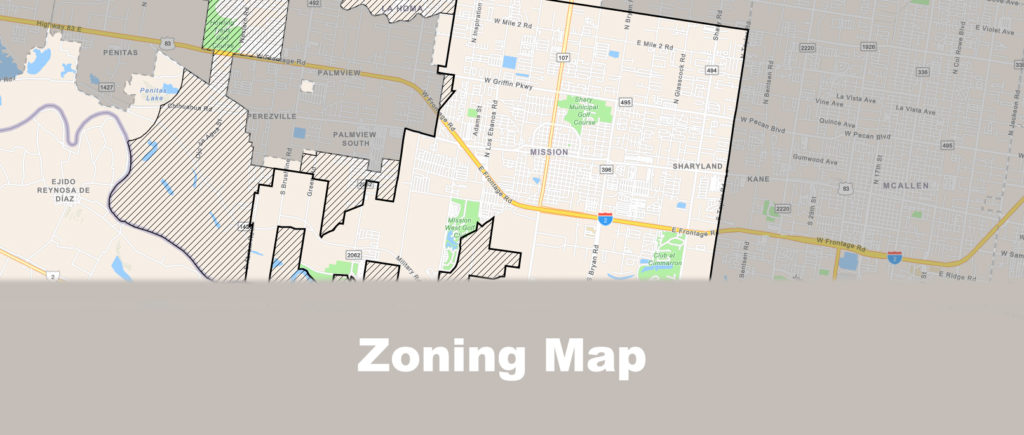
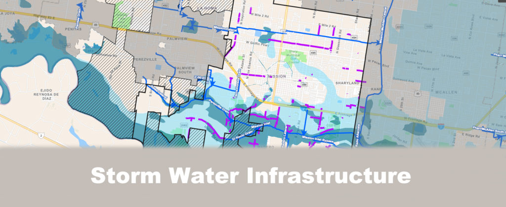
The City of Mission is going through a massive transformation. As the population grows, small businesses and developers are clamoring to take advantage of the demand and the rapid growth in the area. As a result, the city’s planning and zoning department has launched a new mapping system. A Geographic Information System (GIS) is a platform that captures, stores, checks, integrates, analyzes and displays data related to a position on the Earth’s surface.
Featured Apps